About the Event:
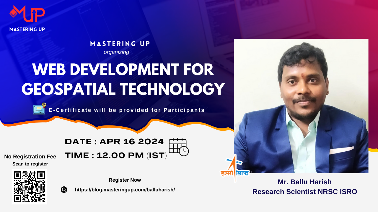
Mastering Up organizing a free online skill development session titled “Web development for Geospatial Technology” delivered by “Mr. Ballu Harish” (Research Scientist NRSC ISRO)
Date: 16/04/2024 (Tuesday)
Time: 12.00 PM -01.00 PM (IST)
E-Certificated will be provided
About the Guest:
Mr. Ballu Harish is a distinguished Research Scientist at NRSC ISRO and a WEB GIS Developer, known for his pivotal role in the Space Based Information Support for Decentralised Planning (SISDP) project from September 2022 to March 2024 in Hyderabad. His technical prowess encompasses a wide array of skills including ReactJS, jQuery, Ajax, C, C++, Java, PostgreSQL, Geoserver, ArcGIS, and QGIS. Harish led the front-end development of the Bhuvan Panchayat portal, leveraging technologies such as ReactJS, Bootstrap, jQuery, and Ajax to ensure an intuitive user interface. He adeptly managed server-side systems, including Geoserver, Postgres, and Node.js, to facilitate seamless data delivery and developed APIs to improve data accessibility. His proficiency extends to automating data processing tasks with Python, enhancing server reliability with shell scripts, and innovating display methods for visitor statistics on the portal. Harish integrated extensive datasets into the portal, enhancing its functionality and security, and played a crucial role in developing user manuals and offering technical support. His commitment to both front-end and server-side development has significantly contributed to the project’s success, showcasing his ability to implement novel solutions and maintain high system reliability. Prior to his current role, Harish cultivated a rich experience as an Assistant Professor at JNTUH, guiding M.Tech students in projects involving Web-GIS and Geospatial Technologies. He also contributed to photogrammetry projects at Avineon India Pvt. Ltd., demonstrating his expertise in satellite imagery analysis. Educationally, Harish holds an M.Tech in Spatial IT and a B.Tech in Computer Science and Engineering from Jawaharlal Nehru Technological University, Hyderabad, underlining his strong foundation in technology and spatial sciences. His diverse skill set, innovative contributions, and dedication to advancing GIS technologies make him a key asset to NRSC ISRO and the broader scientific community.
Course Link: Web development for Geospatial Technology